Heading out on a road trip has a certain irresistible appeal, offering thrilling landmarks and attractions you might otherwise miss en route to your destination. And road tripping on the Pan-American Highway (PAH), the world’s longest “motorable” highway (according to Guinness World Records), is the crème de la crème of road trips.
The route spans from Prudhoe Bay, Alaska, to Ushuaia, Argentina, covering about 19,000 miles. Adventurers have traveled the entire PAH network via car, truck, van, four-wheel drive, motorcycle, bicycle, and on foot. The entire route is drivable except for one roadless 60-mile section of wilderness — called the Darien Gap — between Panama and Colombia. Here’s everything you need to know about the Pan-American Highway.
The History of the PAH

The concept of building a highway linking North and South America emerged in 1923, after earlier attempts to construct a railroad failed. Several nations in North America, South America, and Central America signed an official agreement in 1937 to build a road instead. Various countries completed sections over the subsequent years, overcoming wars, governmental dysfunction, and funding shortages. Originally, the route proposed was from Mexico to Argentina, and Mexico was the first country to complete its PAH section in 1950.
A Network of Roads

The Pan-American Highway isn’t one official road or route — it’s a network of officially and unofficially recognized roads spanning 14 countries, with offshoots into additional countries. The only official section of the world’s longest road runs from Nuevo Laredo, Mexico (just across the border from Laredo, Texas), to Buenos Aires, Argentina (minus the Darien Gap). In the U.S. and Canada, the PAH includes existing highways with multiple route options. The varying routes and branches on both continents can add 11,000 miles to the journey. In the U.S., the entire Interstate Highway System is designated as part of the Pan-American Highway System, which means travelers can choose from several interstates running north to south. These multiple routes offer plenty of flexibility in North America (with fewer options in Central and South America).
Route Overview: Alaska Through Central America

The northernmost starting point on the PAH is Prudhoe Bay, Alaska, where travelers follow the Dalton Highway south for about 400 miles to Fairbanks. From there, they take the Alaska Highway, a roughly 1,400-mile stretch that connects Fairbanks to Dawson Creek, British Columbia. Travelers have a few options for journeying south across Canada once they leave Alaska. Most routes cross into the U.S. in Washington, Montana, or Minnesota. Travelers typically choose their U.S. route based on which states and cities they want to visit. The four most popular interstate routes are along the West Coast (I-5), through the Rocky Mountains (I-15 or I-25), or across the Midwest (I-35).
Most travelers cross into Mexico in either Nogales, Arizona (south of Tucson), or Nuevo Laredo on the border of Texas and Mexico. Once in Mexico, the official Pan-American Highway (called the Inter-American Highway) runs south from Nuevo Laredo, through Monterrey and Mexico City, and then into Guatemala. An alternative route travels from Nogales to the coastal town of Mazatlán, before merging with the official highway in Mexico City.
Once in Central America, the PAH passes through Guatemala, El Salvador, Honduras, Nicaragua, Costa Rica, and Panama (every Central American country except Belize). However, traveling gets a little tricky in Panama when the paved route abruptly terminates at the town of Yaviza on the edge of the Darien Gap.
The Darien Gap

The Darien Gap is a roughly 100-mile-wide, 66-mile-long swathe of undeveloped swampland, mountainous jungle, and forest between the Caribbean Sea and the Pacific Ocean. It covers the border region of Panama and Colombia, where North America and South America meet. Many consider the Darien Gap to be one of the most dangerous, inhospitable places on Earth. Biological risks include venomous snakes, spiders, jungle cats, insects, parasites, bacterial and fungal infections, and blistering heat.
The absence of any controlling authority has also given rise to armed groups that frequently travel back and forth across the porous border. Adding to the danger is a scattering of old Cold War-era undetonated bombs left behind by the U.S. military, which once used the area for training.
Because of these risks, as well as the enormous cost, local opposition, the negative environmental impact, and the desire to maintain a natural barrier against drug trafficking, disease spread, and illegal immigration, the Pan-American Highway was never completed in this area. However, many intrepid travelers have successfully crossed the Darien Gap on foot or via off-road vehicles, motorcycles, and bikes — typically with a little help from local guides and boats or rafts to get across the numerous rivers.
Crossing the Darien Gap

Most travelers avoid the significant discomfort and risks of traveling across the Darien Gap over land. Those with vehicles can transport them in cargo ships and then fly or take a boat to a Colombian port. Local boat captains offer five-day trips with stops in the beautiful San Blas Islands of Panama for snorkeling and beach barbecues. Commercial flights between Panama City and numerous Colombian cities are also available.
Route Overview: South America

Once travelers arrive in Colombia and reconnect with their vehicles if necessary, they can pick up the PAH in the port city of Turbo and continue south through Ecuador, Peru, Chile, and Buenos Aires, Argentina, where the route officially terminates. Most adventurers don’t stop there, though, instead continuing to South America’s southernmost town, Ushuaia, on the largest island in the Tierra del Fuego archipelago of Argentina. Another branch runs north from Buenos Aires, Argentina, to Rio de Janeiro, Brazil.
How Long the Trip Takes

You’ll find no easy answer to this question because of the multiple options, vehicles, and routes available. Most travelers plan between six months and two years to drive the entire length, with numerous stops and side treks. World-record seekers continually strive to break current records; one of the more recent expeditions was by a sponsored team of three who drove nearly nonstop and made the trek from Ushuaia to Prudhoe Bay in 11 days, 17 hours, and 22 minutes in 2011.
A few other notable journeys include those by Guinness World Record-holder George Meegan, who walked the 19,019-mile trek over 2,426 days from 1977 to 1983, and Michael Strasser, who holds the current record as the fastest person to bike the route in 84 days, 11 hours, and 50 minutes in 2018. The first people to cross the Darien Gap by vehicle, meanwhile, used specialized cars, completing the journey over 136 days from 1959 to 1960.
Highlights Along the Way

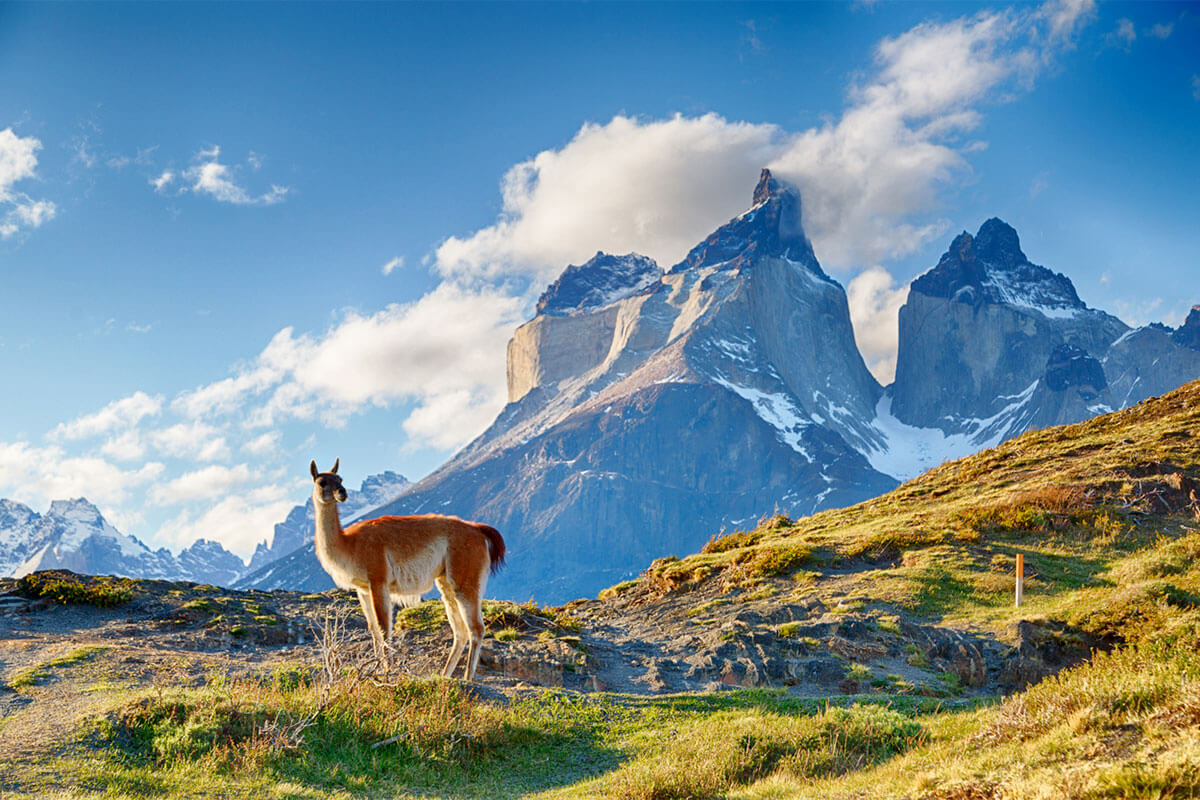
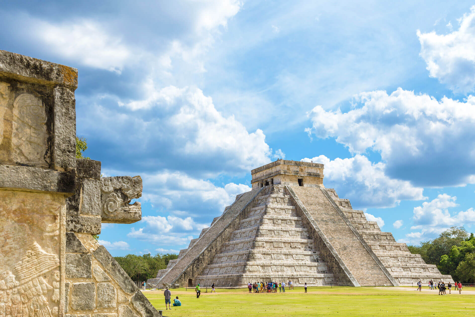
Experiencing all of the thousands of spectacular things to do and see on the PAH would take years. The route winds through some of Earth’s most scenic places, so most travelers create a flexible itinerary that allows time to take intriguing side trips or enjoy longer stops. It’s challenging to narrow the list to a few highlights, but most who embark on the adventure will mention Alaska’s northern lights, Mexico’s ancient Maya ruins, the volcanoes of Costa Rica, Ecuador’s capital of Quito, Peru’s Machu Picchu, Chile’s Atacama Desert (the Earth’s oldest and driest non-polar desert), a brief side trek to see Bolivia’s Uyuni Salt Flats, and the striking remoteness and scenery of Parque Nacional Tierra del Fuego in Argentina.
Majestic mountain scenery (including glaciers), dramatic waterfalls cascading into pristine swimming holes, thermal hot springs for soaking, gorgeous sunsets over the Pacific, and an endless selection of stunning national parks are just a few reasons why travelers embark on this arduous journey. Those who slow their pace and immerse themselves in local culture get to sample the food, music, celebrations, art, and history of each country they visit.