North America is home to multiple diverse ecological regions, ranging from tropical wetlands to deserts, forests, rugged mountains, grasslands, and arctic tundra — each with its own unique flora, fauna, and physical characteristics. Ecological regions, or ecoregions, span political borders, so defining regions by country doesn’t make sense. Animals migrate and move across borders, as do pollution and natural disasters such as droughts, floods, and wildfires.
Formed in 1994 as an offshoot of NAFTA (North American Free Trade Agreement), the Commission for Environmental Cooperation (CEC) is a coalition between Canada, the U.S., and Mexico. The CEC’s mission is to identify environmental concerns and promote effective preventative and enforcement policies. The CEC has identified 15 distinct ecological regions across North America, with each region divided into subregions. Here are the major ecoregions of North America, and their unique attributes.
Arctic Cordillera

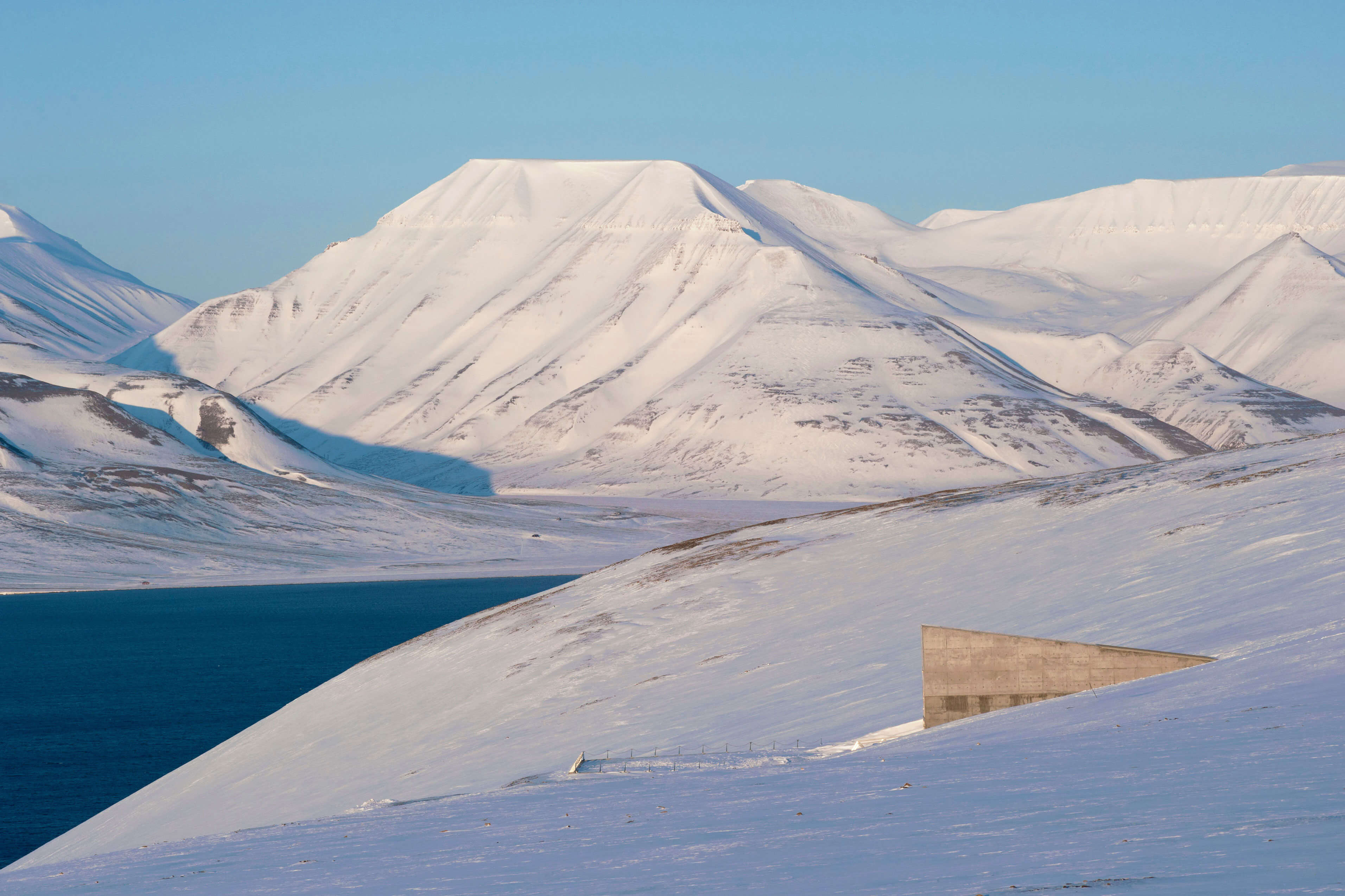
Polar bears, seals, walruses, wolves, caribou, musk oxen, arctic foxes, and whales are the most common animals inhabiting this extremely cold, dry region bordering the Arctic Ocean and Baffin Bay. The Arctic Cordillera is the least populated of the 15 ecoregions of North America, with only about 1,000 permanent residents of mostly Indigenous Inuit descent, who fish, hunt, and trap to survive. About 75% of the landscape is exposed bedrock or ice, dominated by vast mountain ranges, alpine glaciers, massive polar icefields, and inland fjords. Minimal soil and permafrost most of the year limit vegetation growth.
Tundra

You’ll need your best extreme cold-weather gear to visit another cold, dry ecological region — the Tundra spans northern Alaska; the Canadian territories of Yukon, Northwest Territories, and Nunavut (including Baffin Island); and northern Québec. Despite its cold, harsh climate and minimal precipitation, the region supports a surprisingly diverse amount of flora and fauna. Mosses, cotton grass, and dwarf shrubs grow here during the short summer season. It’s also home to lichens (fungi-algae hybrid organisms), caribou, grizzly and polar bears, musk oxen, arctic foxes and hares, moose, wolves, and similar marine animals found in the Arctic Cordillera. Several migratory birds such as geese, swans, loons, ducks, ptarmigans, owls, and snow buntings arrive every summer as the Tundra is an important breeding and nesting ground. Human population is sparse, with about 100,000 people (mostly Inuit) residing in self-sufficient villages.
Taiga

Just south of the Tundra ecoregion, from inland Alaska in the west to Newfoundland in the east, lies the Taiga zone. The region encompasses most of Canada’s northern boreal forest, featuring rolling uplands and lowlands filled with bogs, lakes, and wetlands. This is the farthest north that actual trees will grow — mostly coniferous species such as spruce and fir. About 50 mammal species live here, including many Tundra zone species, plus beavers, lynx, wolverines, bobcats, and snowshoe hares. Thousands of birds come to nest or rest here on their way to Tundra breeding grounds.
Hudson Plains

This ecological region, which borders the Hudson Bay’s southern edge and crosses northern Manitoba, Ontario, and northwestern Québec, is one vast wetland — in fact, it’s the world’s largest emergent wetland shoreline. One interesting geological feature you’ll find here are belts of raised beaches formed by receding ice sheets. Winters are long and cold in the Hudson Plains, and summers bring rain and fog. Polar bears, caribou, and waterfowl thrive in this ecoregion. European fur traders arrived here in the 17th century and established the Hudson’s Bay Company, which still exists today as a department store chain in Canada.
Northern Forests

This broad, crescent-shaped ecoregion stretches east from northern Saskatchewan to Newfoundland, dipping into northern Wisconsin, Michigan, New York, Pennsylvania, Vermont, and New Hampshire. Extensive boreal forests and thousands of lakes characterize the Northern Forests ecozone. The zone sits on the Canadian Shield, an exposed section of one of the planet’s oldest and largest geologic continental shields. You can see Precambrian-era, granite bedrock outcroppings along the region's numerous lakes and rivers. Forests, home to primarily coniferous species, cover more than 80% of the area.
Northwestern Forested Mountains

The Northwestern Forested Mountains ecological region stretches north to south instead of east to west like the five previous zones on our list. Starting in Alaska, this zone extends south into Yukon, interior British Columbia, Washington, Oregon, northern California, Idaho, western Montana, Wyoming, Utah, Colorado, and northern New Mexico. Due to the different climates, elevations, and precipitation, this region contains diverse vegetation, ranging from alpine lichen and shrubs to conifers and sagebrush. Five major river systems flow through here, including the headwaters for the Columbia and Fraser Rivers. Mountain ranges define this zone, despite the climatic differences.
Marine West Coast Forests

This ecoregion runs parallel to the Northwestern Forested Mountains zone along the Pacific Coast, from Alaska to northern California. The Marine West Coast Forests ecoregion’s most notable feature is its temperate rainforests — the area contains all of North America’s rainforests and is the continent’s wettest climate. Giant California redwood trees and cedar, fir, spruce, hemlock, and alder species populate the area. Killer whales are among the marine mammals that live offshore, alongside other whales, seals, dolphins, and sea lions.
Eastern Temperate Forests

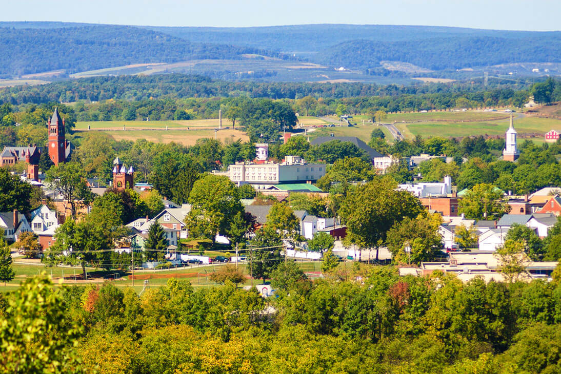
Most of the eastern United States is part of this ecozone, which starts at the Great Lakes and Maine and extends south to the Gulf of Mexico. The diverse terrain includes the Appalachian Mountains, coastal plains, rolling hills, perennial streams, lakes, wetlands, and maritime ecosystems. You’ll find plenty of diversity in the forests too, with layers of trees, shrubs, vines, and herbs. The Eastern Temperate Forests’ most stunning feature is its fall foliage, which occurs when the region’s deciduous tree species display their blazing array of yellow, red, and orange leaves.
Great Plains

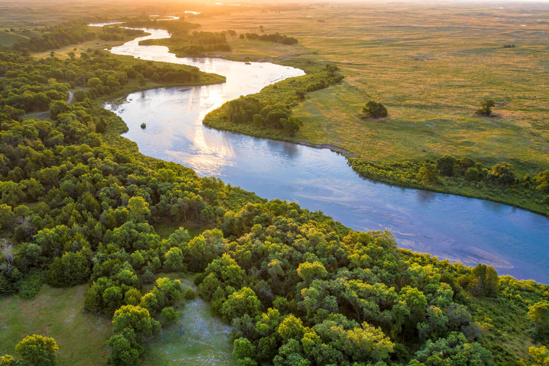
Just west of the Eastern Temperate Forests ecoregion is the Great Plains zone, which stretches from southern Alberta, Saskatchewan, and Manitoba, down through the central U.S., into northern Mexico. The massive region extends across the broadest latitudinal range of all the continent’s ecozones and covers about 1,351,360 square miles. Rolling plains and mixed-grass prairies dominate most of the region, with some wetland and arid areas included. Millions of bison, antelope, elk, mule deer, Great Plains wolves, and grizzly bears roamed the plains until humans settled. The Great Plains ecoregion is Earth’s largest ranching and farming area.
North American Deserts

The North American Deserts ecoregion also runs from north to south, beginning in British Columbia and ending in Baja California and central Mexico. In the U.S., the zone is bordered by the Cascade and Sierra Nevada mountain ranges to the west and the Rocky Mountains to the east, and by the Sierra Madre range in Mexico. The mountain ranges block moisture from the Pacific and Gulf of Mexico, which creates its arid climate. Notable geological features include massive sand dunes, cliffs, buttes, mesas, and impressive canyons, such as the Grand Canyon. Cacti are common here, from the tall saguaro species with their outstretched “arms” to cholla and prickly pear. Yuccas, including agave and the iconic Joshua trees of California’s Mojave Desert, are also common.
Mediterranean California

This small ecoregion begins in Oregon and stretches along the California coastline into Baja California Norte. Residents and visitors enjoy the warm, mild Mediterranean climate — the only place in North America where this climate exists. Hot, dry summers and mild winters, with some winter precipitation (especially in the northern end), characterize this climate. Coastal fog blankets the area frequently from May through July. The terrain is varied, ranging from mountains to hills, tablelands, valleys, and plains. The North American and Pacific tectonic plates shift against each other, resulting in frequent tremors and earthquakes.
Southern Semi-Arid Highlands

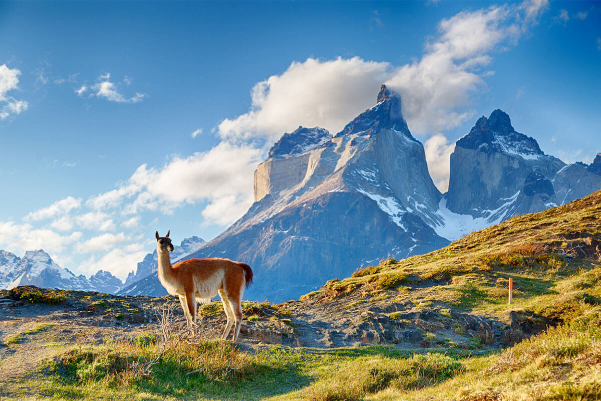
The Southern Semi-Arid Highlands is a narrow ecoregion that spans from southern Arizona and New Mexico into several Mexican states, sitting between 3,600 and 8,200 feet above sea level. The region is wedged between the Sierra Madre mountains and North American deserts. Grasslands, scrublands, and mesquite groves make up most of the region’s vegetation. Wildlife includes jackrabbits, coyotes, gray foxes, deer, antelope, quail, and doves. Farming, ranching, and mining are common industries in this zone.
Temperate Sierras

The Temperate Sierras ecoregion includes most of Mexico’s mountain ranges and a few mountainous areas in Arizona and New Mexico. You’ll find Mexico’s highest peaks — the Pico de Orizaba, Iztaccíhuatl and Popocatépetl — here, as well as numerous active volcanoes. Mountain cloud forests, which are hilly woodlands blanketed by rain and fog, flourish in some areas and serve as the habitat for more than 750 vertebrate species and 12% of Mexico’s plants. The zone also contains several large cities, including Mexico's capital, Mexico City, one of the world’s most populated cities with more than 21 million residents.
Tropical Dry Forests

This ecoregion is divided across several areas of Mexico but covers about 13% of the country. Long, narrow bands of this zone run along the Pacific Coast and the Sierra Madre del Sur mountains, with a few patches including the tip of the Baja Peninsula and select regions along the Gulf of Mexico. Heavy summer rainfall and average annual temperatures of 68 to 85 degrees Fahrenheit juxtapose the zone’s drier winters, enabling a diverse array of flora to live. The ecoregion is home to many low and sub-deciduous forests, in addition to several unique endemic species. A tree with a red, papery bark grows here, known locally as a papelillo or copal (or as a gumbo-limbo or paperbark tree in other areas). Papel means "paper" in Spanish, hence the name papelillo.
Tropical Humid Forests

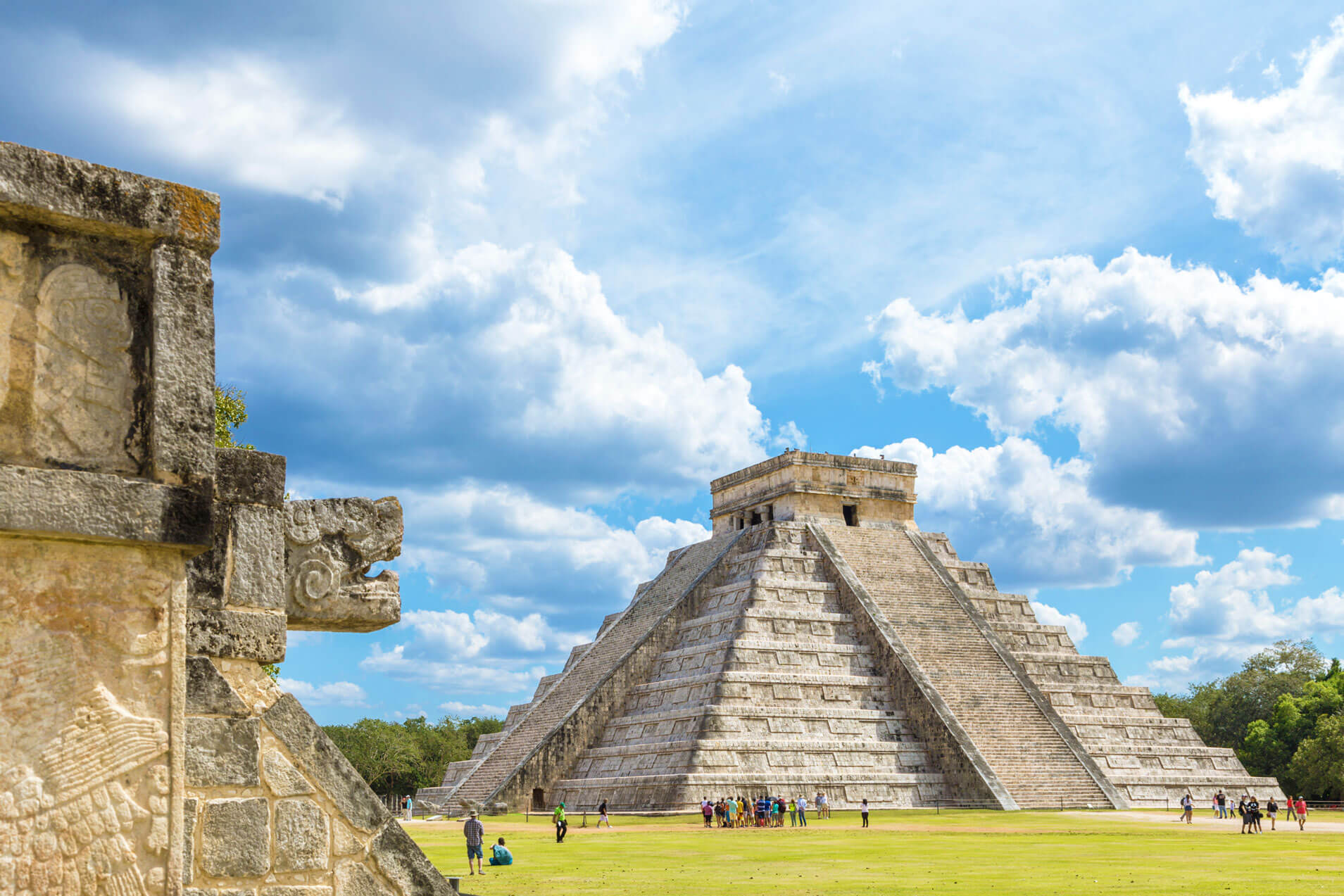
South Florida, most of Mexico’s Yucatán Peninsula and southern Gulf of Mexico coastline, and a few strips along the Pacific create the Tropical Humid Forests ecoregion. Rain and a warm, humid climate characterize this region, along with evergreens and semi-deciduous trees. The ecoregion happens to be one of the world’s richest zones in terms of flora and fauna. The area contains four times the number of tree species found in northern temperate forests. Air plants, which grow on another plant but aren’t parasitic, are common here and include beautiful species such as bromeliads, ferns, and orchids. Mangrove trees that grow in water are also common. A plethora of wildlife thrives in this ecosystem, including colorful birds such as toucans, macaws, parrots, and pheasants, as well as bats, opossums, armadillos, caimans, crocodiles, alligators, and tapirs.