You’ve heard of the Rockies, the Alps, the Himalayas, and the Andes — but there are hundreds of major mountain ranges around the world. While each range varies in height and terrain, their peaks have a lot in common: They're beautiful and offer countless opportunities for recreation and exploration. So whether you’re an avid hiker, birder, or nature photographer, make sure you explore these 15 incredible mountain ranges and get a glimpse of their tallest peaks.
The Alps: Mont Blanc at 15,771 Feet

While Switzerland is well-known around the world as home of the Alps, these majestic peaks also span parts of France, Italy, Germany, Austria, Slovenia, Monaco, and Liechtenstein. In fact, the tallest peak in the range is Mont Blanc, which is located along the French-Italian border and stands 15,771 feet tall. Switzerland boasts plenty of other towering peaks, though, including Dufourspitze, Weisshorn, and Finsteraarhorn, as well as the world-famous Dammastock and Matterhorn mountains. Both of these scenic peaks are among the tallest in Europe, with the iconic Matterhorn even gracing the distinctive packaging of Toblerone chocolates.
The Swiss Alps are about as picturesque as movies make them out to be, with snow-capped peaks, verdant valleys, pristine lakes, charming cobblestone village squares lined with half-timbered buildings, and a network of challenging but gorgeous hiking trails and ski slopes. Skiing and snowboarding are popular activities in winter, and the Alps — which stretch for nearly 750 miles — are home to some of the most prestigious places for skiing in the world: Chamonix in France, Saint Moritz and Davos in Switzerland, Cortina d’Ampezzo in Italy, and Saint Anton in Austria, among many others.
Wildlife is abundant — look for the ibex, a wild goat, in addition to marmots, ptarmigans (grouse-like birds with white plumage in winter months), European lynxes, and brown bears. Lower altitude regions are lush with deciduous oak and beech trees, but as you travel higher up the peaks, you’ll discover dense evergreen forests. Also sprinkled throughout the Alps are some of Europe’s most iconic wildflowers. Look for edelweiss — the small, white blooms made famous in The Sound of Music (1965).
The Dolomites: Marmolada at 10,964 Feet

The Dolomites are actually part of the Alps. Located in northeastern Italy across the provinces of Belluno, South Tyrol, and Trentino, these picturesque peaks are considered part of the Southern Limestone Alps. The unique make-up of these limestone peaks gives them a mesmerizing, light-colored appearance that stands out at sunrise and sunset, giving the range the nickname “Pale Mountains.” The formations add to the lush appearance of the region, with verdant greenery and ice blue waterways contrasting the soft-colored stone.
The Dolomites are a must-visit for adventurers. Here, visitors can find world-class skiing and snowboarding, ice-skating, mountaineering, and a vast network of hiking and mountain biking trails. History buffs will also find plenty to explore. This area is famous for its role in World War I — and the hills and valleys are dotted with tunnels, battlegrounds, and other remnants of war.
The tallest summit in the range, nicknamed the “Queen of the Dolomites,” is the Marmolada. At 10,964 feet tall, this peak is a tough mountain to climb. Visitors who wish to enjoy the panoramic views without making the grueling ascent can ride a three-section funicular lift that takes you straight to the summit. While you’re up there, visit the highest-altitude museum in Europe, the Marmolada Great War Museum, which commemorates the region’s fallen World War I soldiers.
Grampian Mountains: Ben Nevis at 4,413 Feet

The Grampian Mountains might not be the hiking area of choice for a serious mountaineer, but the sandstone range covers nearly half of Scotland and is home to two of the tallest peaks in the United Kingdom — Ben Nevis at 4,413 feet tall, and Ben Macdui at 4,295 feet tall. The former, nicknamed “the Ben” by locals, attracts some 100,000 annual visitors, who hike to the summit on one of two trails. (Choose the Pony Track rather than the Càrn Mòr Dearg Arête for a more accessible, less steep journey.) Once you reach the top, don’t miss the remains of a historic observatory. Dating back to 1883, the facility was integral to a number of climate discoveries, as well as the invention of the cloud chamber.
Ben Nevis is actually what remains of a 350-million-year-old, collapsed, ancient volcano. The volcanic activity paired with centuries of glacial erosion left the expanse rugged and dramatic. Located in the northern Scottish Highlands, the Grampian Mountains are sparsely populated — featuring lush valleys dotted with wildflowers and picturesque farms and villages. This idyllic setting is the source of many of Scotland’s waterways, including the Wimmera River.
Rock climbing, hiking, skiing, and snowboarding are popular in the region, and you can’t beat the views. On a clear day, it’s possible to see 120 miles of Scottish countryside from the range’s highest peaks. But make sure you act fast on a sunny day! Ben Nevis is cloaked in fog 80% of the time from November to January. Even in May and June, it’s likely to be foggy 55% of the time. It’s also cold at the summits. The peaks have an alpine climate and are covered in snow for extended periods; during even the warmest months, temperatures only reach 50 degrees Fahrenheit.
The Andes: Mount Aconcagua at 22,831 Feet

The Andean Mountains — or Andes — are the longest continuous mountain range in the world. Spanning almost the entire length of South America through seven countries (Chile, Colombia, Ecuador, Peru, Bolivia, Argentina, and Venezuela), the range measures an incredible 4,350 miles long! Many visitors travel to the Andes for the range’s ancient history and mythology. The range is home to the Inca Trail, in addition to a number of ancient historic and cultural sites, including Machu Picchu in Peru.
The sheer height of the Andes is stunning. The range’s highest peak is the 22,831-foot-tall Mount Aconcagua, the highest point in the Western Hemisphere. The range also contains several active volcanoes, including Ojos del Salado on the border of Chile and Argentina. At 22,615 feet tall, it’s the tallest active volcano in the world. While the Andes remain mostly untouched, the high plateaus alongside the summits are home to major cities such as Bogotá, Medellín, La Paz, and Quito. One such plateau, the Altiplano, is the second-highest in the world.
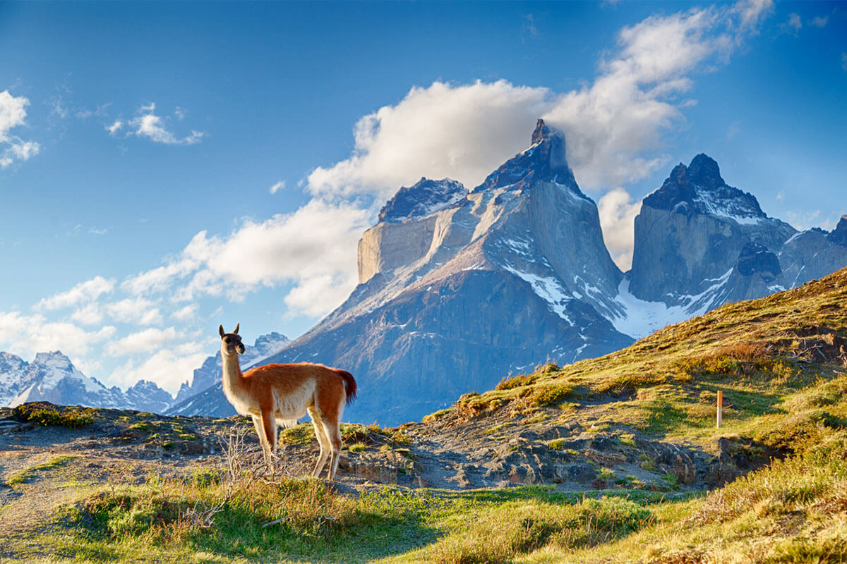
Because the Andes are so expansive, the range is divided into three climate categories: the Tropical Andes up north; the Dry Andes, which encompass Chile and parts of Argentina and Bolivia; and the high-precipitation Wet Andes. These extreme climates relate to the scale and the layout of the range. Rather than a continuous line of peaks, the Andes is a succession of parallel ranges divided by huge valleys and high plateaus. This geological diversity means animal and plant life is also diverse and abundant — look for llamas and alpacas on the high plateaus of Peru and Bolivia; condors soaring among the highest peaks; the coniferous rainforests of Patagonia; and the northern cloud forests, which are home to primates and colorful birds.
Transantarctic Mountains: Mount Kirkpatrick at 14,855 Feet

At 2,200 miles long, the Transantarctic Mountains are the fourth-longest mountain range in the world. They run from the McMurdo Sound, which was once ground zero for early Antarctic exploration, across the continent to the Weddell Sea. The span divides the continent in half, creating a natural border between eastern and western Antarctica.
About 98% of this 500-million-year-old range is covered in ice, so the peaks are mostly inaccessible and rather inhospitable. In fact, only the highest peaks are visible through the snow and ice — a phenomenon referred to as “nunataks.” Certain spots between the highest nunataks are referred to as dry valleys. These semi-sheltered lowlands contain the few patches of bare soil on the continent. As for wildlife, the range is home mostly to tiny critters that can handle the extreme weather conditions of the Antarctic tundra, including microbes, mites, and lichens. That said, ancient fossils indicate that the region once hosted a diverse range of plants and reptiles. The highest peak in the range is Mount Kirkpatrick, which reaches a height of 14,855 feet.
Rocky Mountains: Mount Elbert at 14,439 Feet

At 3,000 miles long, the Rocky Mountains — or the Rockies — are the longest mountain range in North America and the third-longest range in the world. The mountains begin in British Columbia, Canada, and continue south to New Mexico in the United States. Mount Elbert, in Colorado, is the range’s highest peak at 14,439 feet tall. A majority of the range land is government-owned and protected, encompassing some of America’s most beloved national parks, including Glacier National Park in Montana, as well as Yellowstone National Park in Wyoming, Idaho, and Montana, Rocky Mountain National Park in Colorado, and Grand Teton National Park in Wyoming.
The Rocky Mountains are at least 55 million years old, and have been home to dozens of Indigenous tribes since the last ice age roughly 12,000 years ago. Ancient glaciers and powerful rivers carved out much of this dramatic landscape, and visitors can still view the remaining glaciers in upper Montana and Alberta, Canada. In addition to the craggy, sky-high mountains, the Rockies are known for crystal blue lakes and scenic trails that offer access to panoramic vistas and natural wonders like rock formations and geysers.
An abundance of wildlife calls the range home. Look for bison, elk, wolves, black and grizzly bears, bighorn sheep, mule deer, and a plethora of year-round and migrating bird species. The wildlife makes the range a popular spot for hunting, fishing, and birdwatching. Meanwhile, adventurers can go rock climbing, skiing, snowmobiling, hiking, or rafting.
Southern Great Escarpment: Drakensberg at 11,424 Feet

The second-longest mountain range on Earth is Africa’s Southern Great Escarpment. It spans 3,100 miles across South Africa, Zimbabwe, Swaziland, Lesotho, Namibia, and Angola, and is roughly 180 million years old. The Escarpment acts as a natural border between the region’s narrow coastal region and the vast plateau highlands further inland. The range’s highest peak, the Drakensberg, towers 11,424 feet tall in South Africa.
The Drakensberg is the centerpiece of the Drakensberg range, a smaller range within the Southern Great Escarpment. This section is less rocky than other mountain systems since the crags were formed over basalt lava and contain soft sandstone.
The mountains in the Escarpment have been commonly referred to as the “Mountains of Dragons” since the earliest Dutch settlers arrived in the area. The nickname comes from a series of dinosaur fossil discoveries in the region, paired with a local legend purporting dragon sightings among the range’s peaks. While dragon-hunting, be sure to take in the magnificent views. The vistas and trailways attract local and international hikers and mountaineers. Other activities include swimming, fishing, horseback riding, birdwatching (over 300 bird species have been spotted in the region), and hot air balloon rides over breathtaking, hard-to-reach valleys.
Jotunheimen Mountains: Galdhøpiggen at 8,100 Feet

Found within the largely undisturbed eastern Norwegian regions of Valdres and Jotunheimen are the Jotunheimen Mountains, which translates to “Home of the Giants” in Norwegian. Spanning over 2,000 square miles, the range includes Norway’s two highest peaks: Galdhøpiggen, at 8,100 feet above sea level, and Glittertind, at 8,083 feet. In fact, the Jotunheimen Mountains encompass northern Europe’s highest concentration of tall mountains, with over 250 summits that reach a height of 6,000 feet or more.
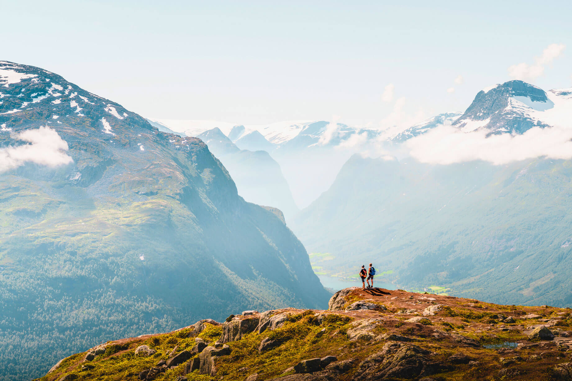
The range is absolutely beautiful, with countless waterfalls, glaciers, crystal-clear and emerald-green lakes, and lush valleys. Most of the range falls within Norway’s most-visited national park, Jotunheimen National Park, which stretches over 444 square miles and offers overnight visitors the opportunity to stay in one of several charming cabins or lodges. Come morning, visitors can enjoy hiking, cycling, horseback riding, spelunking, and fishing in the summer. Naturally, skiing is a popular winter pastime in the peaks. The consistent temperatures in this part of Norway all but guarantee snow from November through May. Trails range from prepared cross-country ski tracks to seriously thrilling downhill trails in alpine areas.
The best way to take in the Jotunheimen Mountains is to embark on the Sognefjellet National Tourist Route. This scenic drive includes Europe’s highest mountain pass and countless opportunities to get that perfect Instagram shot — you might even see reindeer along the way!
The Himalayas: Mount Everest at 29,029 Feet

For centuries, pilgrim mountaineers from India have explored the snow-capped Himalayas — even coining the name, which translates to “abode of snow” in Sanskrit. The icy peaks are why many consider the Himalayas one of the most beautiful mountain ranges in the world. It’s certainly the most impressive range when it comes to height, with more than 110 peaks rising over 24,000 feet, including the world’s tallest mountain, Mount Everest, which is an unbelievable 29,029 feet tall!
The Himalayas stretch for about 1,550 miles in length across northeastern India, Pakistan, Afghanistan, China, Bhutan, and Nepal. The Himalayas are profoundly significant to the people who call this region of South Asia home; there are references to the towering mountains in mythology, art, literature, and religion. In fact, hikers and cyclists exploring the range will come across countless temples and monasteries with colorful prayer flags — including, notably, the Paro Taktsang Monastery in Bhutan and the famous mountainside temples of Nepal.
Countless adventurers from around the world have tried their skill and their luck at climbing Mount Everest and other towering peaks in the region — braving sheer drops and extreme weather to plant their flag at some of the highest summits on Earth. The good news is that you don’t need to be a hardcore climber to enjoy the area. There are widely accessible walking and biking trails, incredible restaurants, and a tremendous array of wildlife. Depending on what end of the range you find yourself in, you may spot Asiatic black bears, clouded leopards, langurs, Indian rhinoceroses, musk deer, lesser pandas, and Tibetan yaks among various ecosystems ranging from broadleaf forests and shrublands to subalpine woodlands.
Great Dividing Range: Mount Kosciuszko at 7,310 Feet

The Great Dividing Range is a series of low peaks and plateaus running parallel to the Australian coast through Queensland, New South Wales, and Victoria. Starting at the Cape York Peninsula, the range stretches for 2,300 miles to the Victoria Bass Strait between Australia and Tasmania. Like many mega-ranges, the Great Dividing Range comprises smaller systems including the Bellenden Ker and McPherson ranges, the Lamington Plateau, and the Australian Alps — home to Australia’s highest peak, Mount Kosciuszko, which towers 7,310 feet tall.
Although the Great Dividing Range lacks extreme height, its impressive age and diverse landscape make it a unique system to explore. With some peaks dating roughly 300 million years old, the range is home to various ecosystems and even receives snowfall in some areas.
Lush rainforest covers the northeast, complete with tree kangaroos and birdwing butterflies. More temperate areas feature fragrant acacia and eucalyptus trees that blossom with colorful flowers in spring and summer. Meanwhile, western slopes are predominantly scrubland. One of the most fascinating species within the Great Dividing Range is the Wollemi pine. This ancient tree was thought to be extinct, until 200 specimens were discovered in Wollemi National Park in 1994. The area where these trees had been secretly thriving for a thousand years remains a secret in order to protect the safety of these botanical treasures.
The Pyrenees: Pico d’Aneto at 11,168 Feet

The Pyrenees range — named for Princess Pyrene of Greek mythology — acts as a natural border between France and Spain, spanning 305 miles from the Bay of Biscay in the north to the Mediterranean Sea in the south. In fact, many anthropologists believe African cultural influence in Portugal and Spain might have spread throughout the rest of Europe if not for this formidable expanse of mountainous terrain isolating the Iberian Peninsula from the rest of the continent.
The highest peaks in the range are centrally located on the Spanish side (in the Spanish Pyrenees rather than the French Pyrenees). Three top 11,000 feet: Pico d’Aneto, the tallest, is 11,168 feet tall, with Pico Posets and Monte Perdido stretching 11,073 feet tall and 11,007 feet tall, respectively. Though these summits aren’t quite as high as those in the nearby Alps, the Pyrenees are actually older, dating back at least 65 million years!
The Pyrenees are famous for their well-marked hiking and biking trails, including the world-famous GR 10. This long-distance trek spans the entire range, with access points along the way for Catalan culture, Basque cuisine, the wines of Corbières, and an endless array of historic churches, charming villages and markets, and picturesque farms. The trail also passes through the tiny country of Andorra. Not far from the range’s tallest mountains, landlocked Andorra is a 181-square-mile microstate. It’s home to about 80,000 people and Europe’s highest-altitude capital, Andorra la Vella, which has an elevation of 3,356 feet.
Ethiopian Highlands: Ras Dejen at 14,872 Feet

Located in the Horn of Africa, or Africa’s easternmost point, the Ethiopian Highlands consist of both the Western Highlands and the Eastern Highlands. The most spectacular peaks are located on the western side, where the range’s highest peak, Ras Dejen, towers 14,872 feet tall. Nearby, the stunning Lake Tana — Ethiopia’s largest inland lake — has an elevation of about 6,000 feet. This dramatic, high-elevation landscape is home to 80% of the highest peaks in Africa.
The Ethiopian Highlands host an array of unique animals including the walia ibex (an alpine goat), a type of antelope called the mountain nyala, and numerous species of jackals and primates. Due to its hot and dry climate, this region is predominantly grassland with meadows punctuated by large endemic rose bushes and African olive trees. To take in the range’s natural beauty and see even more wild animals, visit Simien Mountains National Park and look for bearded vultures circling overhead and the caracal, an extremely rare wildcat.
The Ethiopian Highlands are 75 million years old, and were carved over thousands of years by erosion. In fact, erosion is still an issue in the area. The range’s Blue Nile River floods each spring during the monsoon season, taking tons of fertile soil with it.
Atlas Mountains: Mount Toubkal at 13,665 Feet

The Atlas Mountains are a system of ranges divided by broad plateaus across northwestern Africa through portions of Morocco, Algeria, and Tunisia. With a span of about 1,600 miles, the range begins at the Moroccan port city of Agadir and ends in Tunis, the capital of Tunisia.
The region is largely developed, with crop and grazing land broken up by impressive Moorish-style stucco cities or small mud-brick villages in the desert and along the coast. The communities, which are mostly Berber (a North African people that has called the Atlas Mountains home for thousands of years), are centered around bustling outdoor markets selling handicrafts, produce, and spices. That said, swaths of forest remain where jackals, monkeys, and wild boars can be spotted. The region is mostly arid, so the wild spaces tend to be scrubbier, with evergreens, oaks, and fragrant lavender and heather blooming in season.
Mount Toubkal in Morocco is the highest peak in the Atlas Mountains at 13,665 feet tall. However, two other nearby peaks are close behind: Timzguida at 13,415 feet tall and Ras Ouanoukrim at 13,396 feet tall. Believe it or not, even these mountains can be snowy at the summit.
The Caucasus: Mount Elbrus at 18,510 Feet

The Caucasus Mountains are located between the Black and Caspian seas, crossing portions of Russia, Georgia, Azerbaijan, Armenia, Turkey, and Iran. The region comprises both the Greater and Lesser Caucasus Mountains, home to the highest peaks in Europe, including Mount Elbrus, which soars 18,510 feet tall. This dramatic landscape, featuring numerous peaks over 15,000 feet above sea level, was formed over millions of years by volcanic activity and acts as a natural barrier between Europe and Asia.
The range is extremely picturesque with a landscape of permanently snow-capped peaks, lush alpine meadows and valleys, and rushing rivers and waterfalls. The ecosystem — diverse and largely unspoiled — ranges from grasslands and snowy mountains, to evergreen and deciduous forests, to wetlands and scrubland. This rich variety of habitats hosts some 6,500 plant species alongside wolves, brown bears, Caucasian leopards, jackals, lynxes, hyenas, gazelles, a plethora of bird species, and the Bezoar ibex — a type of mountain goat.
The Caucasus is also rich in history and features an array of sites dating back to the Persian, Ottoman, and Russian Empires. In addition, this region had an important role in Silk Road trade and boasts the earliest recorded evidence of wine-making, dating back roughly 8,000 years. To this day, the Caucasus range is home to innumerable ethnic groups speaking more than 40 Indigenous languages.
The Carpathians: Gerlachovský Štít at 8,711 Feet

The Carpathian Mountains of central and eastern Europe span 932 miles through portions of the Czech Republic, Slovakia, Poland, Hungary, the Ukraine, Serbia, and Romania. Forming an arc shape, the Carpathians encompass smaller mountain systems including the High Tatras and the Fagaras, also known as the Alps of Transylvania. The region covers 73,359 square miles, making it the second-most extensive range in Europe after the Alps. And speaking of the Alps, the Carpathians were formed about 50 million years ago, during the same geological shifts that produced the other European range.
The highest peak in the Carpathians is Gerlachovský Štít. Located in Slovakia, the summit is 8,711 feet above sea level. Snow-capped and dramatic, Gerlachovský Štít and other mountains in the region are picture-perfect, looming over lush, old-growth forests and farmland. In fact, with over a million acres of land already protected, the Carpathians host the most significant areas of primeval forests and the largest populations of large carnivores in Europe, along with a third of all plant species on the continent. This rich biodiversity echoes the cultural and agricultural heritage of the mountain system, as residents of the Carpathians, who are predominantly farmers, are stewards of traditional, low-impact farming and grazing practices.
At the southern end of the Carpathian arc in Romania, plans are underway to create one of Europe’s largest wilderness landscapes south of the Arctic Circle. Encompassing abandoned farmland, virgin forest, alpine grasslands, and wetlands, this mega-park might offer visitors opportunities to spot wolves, Eurasian lynxes, brown bears, roe deer, and wild boars while out hiking, cycling, or swimming.